It is dusk of a winter evening on the Llano Estacado---
The High Plains of Texas.
A brisk and dry north wind has pushed the clouds towards the southern horizon, leaving the skies above Summerfield, Texas pristine and clear for the nocturnal arrival of the constellations.
The temperature is 27 degrees and falling, and with no cloud cover in the atmosphere to hold the heat in, the temps will drop into the teens by midnight, and the wind chill will cut through an unwary being like a cryogenic laser.
The relative humidity won’t reach above 11 percent, drying out untreated lips and cracking the skin along the tops of exposed knuckles.
Eyes tear up to keep them from dying out, making it hard focus.
The only good thing is there is no snow, and we are upwind of the Cattle Town feedlot.
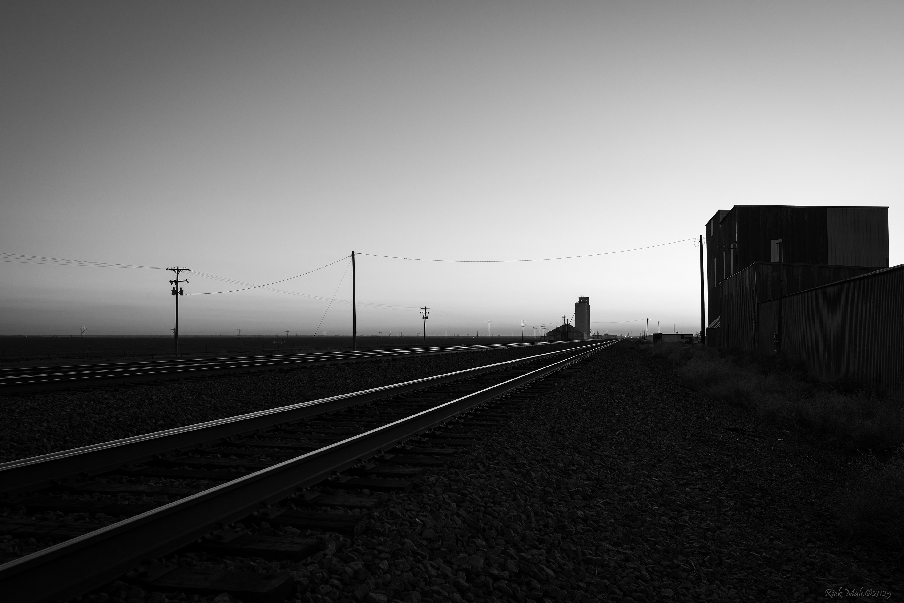
But in the moments just after the sun has dipped below the land, and in spite of the bone-chilling cold, it is a stunningly beautiful evening along the BNSF Transcon across the Panhandle of Texas.
As the great Ron Flanary might quip, “It’s flatter than a Huddle House pancake made with thin batter.” And he wouldn’t be too far from the truth.
It is that which allows us to see 7 track miles distant; past what’s left of Summerfield’s boarded-up auto repair shops and abandoned grain elevators; out past Cattle Town all the way to Black where the headlight of an eastbound hotshot is visible as a pinprick of light on the horizon.
At 70 mph, she’ll be upon us in a matter of minutes.
*
We humans, as a species, have little comprehension of time---
Of real time in its fullest extent.
We confine ourselves to dwell agonizingly in the minutes left until the end of the workday or the final hours of the weekend as they rapidly tick away towards the blare of a Monday morning alarm clock.
Time beyond, or before that of a 70-something year lifespan is of little consequence to us. We mourn those in our lives who have passed before us, but we have no grasp of eras or epochs or continents splitting apart and then crashing together again; of tectonic plates running underneath one another; of the land buckling and bending and heaving upwards in great mountain ranges and plateaus, there to be tumbled down in violent earthquakes and washed away by eons of torrential rain cutting raging rivers down from their slopes, carrying their mass away grain by grain and depositing it far downstream from the heights, there to fan out and fill in valleys and voids in the landscape, further covering the vast amounts of water already trapped deep within the earth’s shattered crust.
To the south, a great mesa rose above the surface, its horizontal strata lifting straight upwards as the plates beneath came together slowly, but violently, causing the land to rise as leavened bread.
As the Miocene epoch became the Pliocene, the vast inland seas had long since transgressed and evaporated, and the climate became drier and cooler, allowing the winds to deposit soils on top of the alluvial fans, creating vast prairies on the leeward side of the mountain range. On top of the mesa, the presence of calcium carbonate created a hard caprock which resisted erosion, and the rains of the Pleistocene created small lakes atop the now-vast plateau.
As the run-off from the mountains continued to etch its path towards the sea, the channels of the rivers became more established.
The Pecos, running south from the Sangre de Cristo range through the now-arid country of New Mexico, gradually eroded the western face of the mesa, exposing its Triassic and Permian geology and creating a palisade some several hundred feet high, an obstacle not only to future explorers, but to the west winds laden with dust and sand that had been scoured off the deserts, the grains too heavy to broach the ramparts fell to earth at their feet and created great sand dunes upon the western face; the lighter grains finding their way up the escarpment only to lose the battle with gravity and fall earthward on the plain, the millennia of such activity leaving a layer of sandy soil atop the hard cement-like caliche, creating a thick and fertile base to hold the deep tap roots of bluestem and blue gramma and buffalo grasses. It is these well-developed root systems that allowed the grasses to survive rangefires that would destroy trees and burn out less hardy vegetation, allowing the grasses to quickly recover and thrive without competition from invading species.
The fertile valley of the Pecos was home to the mastodon and the mammoth, the encroaching ice sheets of the last Quaternary chasing the large beasts down from the north in search of forage and a warmer climate.
Roaring down from the heights of Las Animas County, Colorado, not too far from the headwaters of the Pecos, the Canadian River took an easterly turn near present-day Tucumcari and gouged its way towards a meeting with the Arkansas, cutting a path across the plains and forming the northern boundary of the tableland.
The ancient rains would continue to fall, the small lakes filling, the water gradually filtering down through the caliche and sandstone below and into a vast aquifer of paleowater known as the Ogallala. The run-off from the mesa would generally flow eastward in creeks and rivers that would come to know names such as the White, the Brazos, and the Colorado, all of which would gradually erode the eastern slope of the mesa, carving out great canyons in the process, the Red River scouring away the land and exposing the colorful strata of Palo Duro Canyon south of Amarillo.
***
There is very little here for the tourists.
The land is flat and the wind blows over it in a nearly incessant fashion, the winter cold fronts that roar across the Plains lift the barren soil from the earth in great brown clouds and carry it away to other places. The storms of spring pound the earth with hail and rain and lightning, and the breezes of summer gently sway the golden grasses and the checkerboard circles of wheat.
The sandy beaches and warm Gulf breezes sought by the Spring Breakers won’t be found among the grasses. The roads that lead to Destin and Panama City and Padre Island will suffer greatly from congestion in the early days of March, Civics and Mustangs and jacked-up Jimmies with loud pipes making their ways toward the sandy shores, the scantily clad occupants seeking a bit of freedom from the classroom as they cheer out the windows and hide their beer.
Nor are the mountains here, those jagged vacation destinations sought by the masses in their Escalades and Jeeps and Expeditions; the roads filled with scenery-seekers, the drivers keeping one eye on the landscape and one eye on the road in an attempt to avoid rear-ending the Subaru that’s doing the same thing ahead of them.
Yet, before the great uplift that formed the mountains, a vast inland sea once covered the land here, teaming with fantastic giant aquatic mammals and massive bony fish and ancient predatory sharks; flightless birds with stout legs that swam upon the surface, and giant flying reptiles that scoured the waves in search of prey.
Slowly, the waters began to recede and evaporate, becoming anoxic, leaving the creatures to take their final breaths and leave lasting impressions among the mud and silt.
260 million years later their fossils would be found by homo sapiens.
It is the Ice Age that first brought humans to the area.
They crossed from Siberia on the frozen land bridge of Beringea, following the warmer coastline until some undetermined point south of the ice sheet, and then turned east, finding the waters of the Pecos River clean and cool, the surrounding countryside fertile and stocked well with megafauna.
The hunting was good.
13,000 years later they would find his bones atop the mesa in Blackwater Draw near Clovis, New Mexico.
His DNA occurs in that of the area’s native peoples to this day.
**
“…after four days journey they came to a river with a large, deep current, which flowed down toward Cicuye, and they named this the Cicuye river. They had to stop here to make a bridge so as to cross it. It was finished in four days, by much diligence and rapid work, and as soon as it was done the whole army and the animals crossed. After ten days more they came to some settlements of people who lived like Arabs and who are called Querechos in that region. They had seen the cows for two days. These folks lived in tents made of the tanned skins of these cows. They traveled around near the cows, killing them for food.”
---Pedro Castañeda, chronicler of the Francisco Vasquez de Coronado expedition of 1540-1542.
Almost 200,000 years ago, bison migrated out of the steppes of Eurasia, crossed the Bering land bridge and made their way down into North America, their thick hide and woolly coat allowing them to survive the harshest of climates.
Unlike the mastodon and mammoth, whose diet favored browsing among the trees and shrubs of the Pecos Valley, the bison were grazers, and in the vast grasslands that ranged east of the Rocky Mountains, the nomadic creatures found a home.
As the herds moved south, they crossed through the canyonlands gouged out by the Canadian River, stopping perhaps to drink deeply of its cool waters and mill about the banks as they sought fresh grasses.
Their nomadic nature would not allow them to stay long, and they made their way up the draws of the river valley to the edge of the plateau---
And into the stuff of legends.
---RAM
Rick Malo©2025